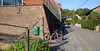
A bit frisky this morning so I waited until noon to ride out. The weather was sunny but rather cold. Riding up to Pietrebais I had the northeasterly wind more or less in my back. Which was fine because I needed the time to warm up a bit. The Pietrebais TT was held a couple of weeks ago but I couldn't attend so I was glad to be able to ride it following the gps track someone mailed me. Thanks for that !
I have ridden the Pietrebais TT before , but then it only was a 45K affair. Even then, the trail builder surprised me with a lot of nice trail combinations and a thorough knowledge of the area. So I was eager to ride this one, a full 54K and announced to be around 900 heightmeters.
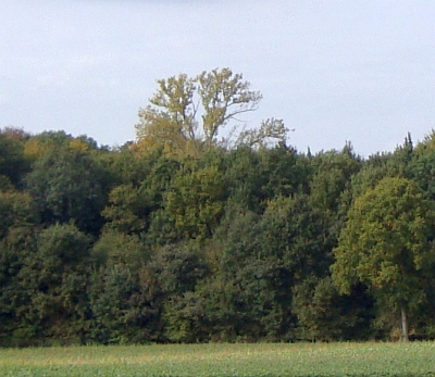
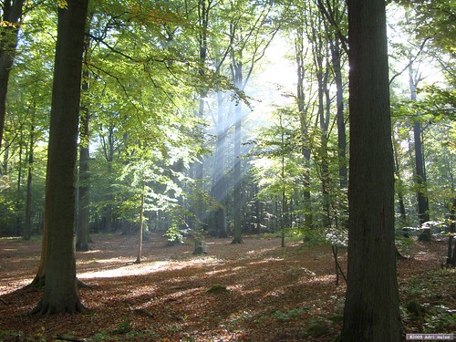
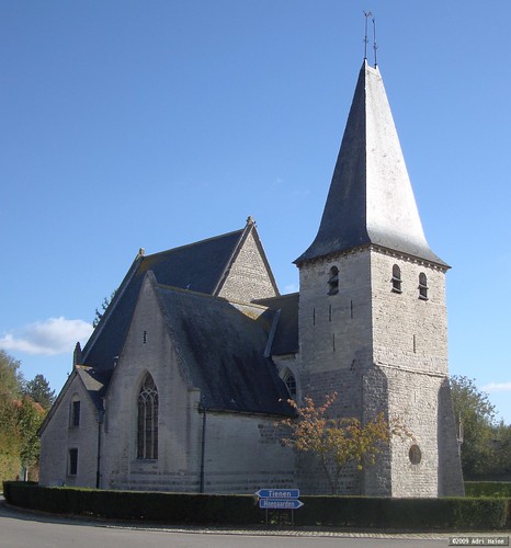
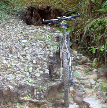
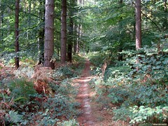
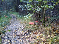
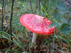
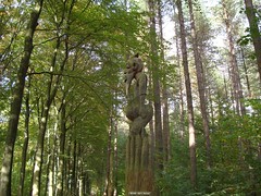
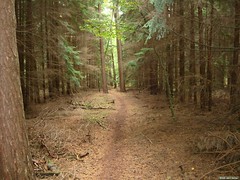
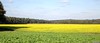
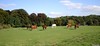
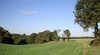
As it turned out, it was even a bit more, and thats exactly how it felt in my legs as well. The start is relatively easy on the legs with a long steady uphill. Care has to be taken. Even though it hasn't rained for a couple of days the trails underneath the trees' green clover are wet and slippery. Once in the fields things dry out and before long I'm back riding downhill towards Pietrebais. Crossing the "rue du Fond de Village" and I'm on another uphill leading all the way to the outskirts of Roux-Miroir. The trail then turns back towards Pietrebais for a nice loop including some singletrails along the forests' edge and between two green fields in a valley. After that it points me towards Longueville. A first passage next to the Chapelle du Cheneau. Now follows a very nice and difficult loop taking me towards Chaumont-Gistoux. I know the area here very well from all my Accro Bike adventures and other trailbuilding duties. Good thing because that way I can easily predict where the GPS wants me to go. The Bois de Chaumont is a real maze to the unwary. The trail builder succeeded in making a very good and consistent loop here. With some steep descents and a hell of an uphill. The fact that a recent thunderstorm has washed out the trails didn't help either. But I'm glad to report I could ride it all. The heightmeters are added liberally in this area and the track slowly loops back to the west and towards Bonlez. A nice long climb and then a difficult descent into the Bois de Bonlez. The trail becomes a rivulet and remains so for 500 metres. Down past the rose fishery and then upwards into the Bois de l'Etoile. Again I zoom down deep into the valley and then turn right for a long climb that brings me from 60 metres all the way up to 145 metres and back to the Chapelle du Cheneau. From there its inevitable that the trail veers down again, this time towards Lower Heze and Grez-Doiceau.
    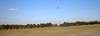 
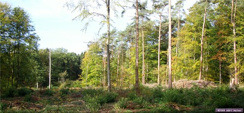
Next comes the climb to the church of Biez, a tough cookie along a singletrail that becomes steeper and steeper. Then the track drops down again on some cobbles and another narrow singletrack brings me back up ; in Heze this time. From here the trail goes towards Cocrou in a long sandy downhill through a forest. In Cocrou I cross the busy N91 and another cobbly climb brings me upwards into the Bois de Linsmeau. A track alongside the forest edge, sometimes a bit muddy delivers me into the fields where the wind welcomes me straight in my face. I pass the landing lights of the Beauvechain military base and a couple of Marchetti SF260s and an Alpha Jet amuse me by passing over my head and landing on the strip. No F16s today.
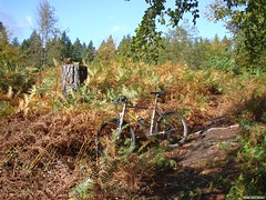
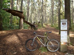
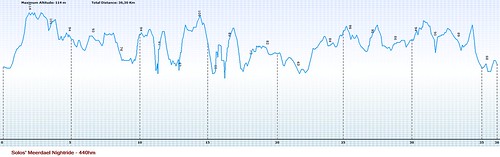
The trail now descents back towards Pietrebais, through a nice but slippery hollow road in a forest. But we are not there yet. Another climb awaits, out of Cocrou and ultimately into the fields south of Pietrebais. A great singletrack then drops me into Pietrebais where a last and steep climb - on tarmac this time - takes me north of Pietrebais again. Turning to the right and easing down on tarmac I am back before the Girls' School where my ride started a couple of hours ago. The numbers are 54,2K and 935 heightmeters. I uploaded the GPX track to EveryTrail. You can check it below.
From Pietrebais I ride back home, through Grez-Doiceau and I can't resist taking the difficult climb up to Gottechain. The trail next to the Gottechain church is completely washed away and I have to walk a couple of metres. Next down into Hamme Mille and into Meerdael Forest to complete this 5-hour ride.
Ride Stats : 84K and 1080/1155 heightmeters (Polar/Garmin) in 4h56mins
Pietrebais TT 54K 2009 at EveryTrail
Map created by EveryTrail: GPS Community
8093/82920
14-10-2009, 20:49 geschreven door Big Bad Wolf
|