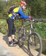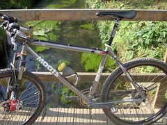
This morning saw a lot of mist so I had to wait until noon for the sun to come out. But then the conditions were ideal for a long ride. Not too warm and almost no wind. I decided to ride the 50K version of the Accro Bike, once an organised ride that was held in October and offered a 42K version, also as a chrono, and a longer 50K version. The version I ride dates from 2001 or 2002, after that the ride did not enter the Chaumont Gistoux area. In 2008 it was decided not to organise the ride any more. With the recent O2 bikers roadbook focussing on Grez Doiceau, I had not ridden the Accro Bike for a while. The O2 Bikers roadbook uses a lot of the same trails, but mostly in the reverse direction. It also offers some new trails, trails that I could use to make a special version of the 50K Accro Bike.
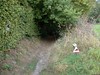
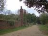
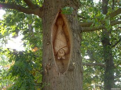
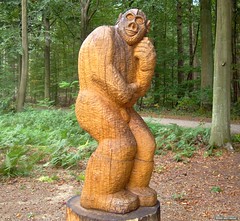
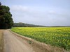
I started out as usual riding through Bossut and Archennes towards Grez Doiceau. The Accro Bike starts on the village square and then rides in a clockwise fashion through Biez, Cocrou, Pietrebais , Longueville, Chaumont Gistoux, Inchebroux, Bonlez and Dion Le Val. I added an extra descent over a singletrack in Pietrebais followed by a long ascent from downtown Pietrebais all the way up to the chapel in Longueville. From there I continued along the Accro Bike trail, descending into Heze and then clicking on the 42k version. I added and extra descent/ascent into the Gorge aux Loups , and then found a new trail in the Bois de Glabais, so that I didn't have to do the difficult - read, unride-able - sandy ascent. The new trail runs parallel to the sandy groove and is steep as well, but still manageable. A bit further, in Les Bruyeres I avoid the very steep ascent, taking a more moderate climb to reach the same connection in the Bois de Chaumont. When I climbed out of Bonlez, on a small tarmac road, a dog attacked me. Somehow it had escaped from behind its fence. It bit me but only superficially. I screamed my lungs out, partly to scare the dog, and partly to let go of my frustration towards the owners of the canine attacker. It didn't pursue me and after checking my upper leg I found nothing but some squeeze marks. No blood. So I decided to move on.
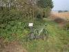   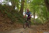
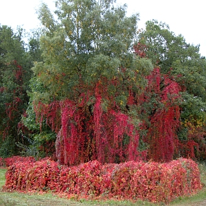
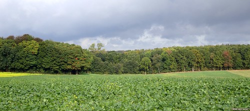
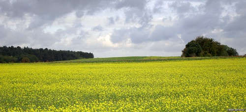
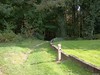
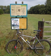
In Dion Le Val I also added a small extra loop , dropping down into the fields from the N25 and then turning left to ride back upwards towards the N25 again. Just before the tunnel I turn right and follow a singletrack that eventually reaches a long downhill into Dion Le Val. Another long climb into the Bois de Bercuit, followed by a downhill towards Gastuche. Back upwards on the same slope and after another downhill I'm back in Grez-Doiceau. The ride is 55K on my GPS and offers 900 heightmeters. Thats 5K and 100 heightmeters more than the original Accro Bike Trail. The dry conditions made it a breeze to ride it, taking into account that the relentless following of climbs and descents, some up to 27% makes this ride a challenge, both physical as technical. When it has rained you can add an extra hour to your total time, the trails become very heavy and very difficult when wet. Not to be underestimated. I offer the trail map and a link to the GPS track. Beware loose dogs and keep the noise level down on the small trails.
I returned towards Meerdael with a good feeling throughout the ride. I felt strong today and wanted to do some extra mileage in Meerdael Forest before arriving home after almost 5 hours on the bike.
Ride Stats : 84K and 1130/1250 heightmeters (Polar/Garmin) in 4h59mins
Accro Bike 55k Special BBW at EveryTrail
Map created by EveryTrail: GPS Community
7592/77510
28-09-2009, 00:00 geschreven door Big Bad Wolf
|