|
Things were continuing to look good. It remained dry and the wind blew in our favor when we left Bourg en Bresse on our way to the gate to the Alps, Grenoble. The temperature was still in the low 10s but that did not bother me much. A light windbreaker took care of that.
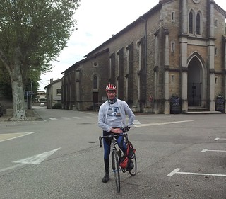
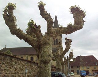
The first 70K, up to and over the river Ain, announced themselves to be rather flat and easy going, the occasional hill notwithstanding.. Our first rest stop was in Loyettes, just before crossing the river Ain Isere and entering the Rhone-Alpes region. I had a local gentleman taking a picture of me with the church as a backdrop.
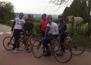
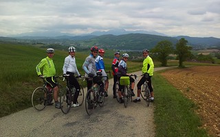
After Cremieux , things started to get spicy with hills reaching ever higher. After Saint-Savin, the next 12K would bring us from 285 to 505 metres of altitude. The first 4 to 5K were steep with a couple of swooping switchbacks and brought us to Premins. Here the climb relaxed a bit before entering a second stage - and a third - leading us ever higher and higher. Km100 saw us back down in the valley and we reached Cessieu where the next climb started to take us from 320m to 580 metres of altitude. It was a long climb with a very steep 17% section in Bouis. We made a segment for it on Strava, calling it the b.strong climb - . On the top of this climb the group - which had split during the ascent - came back together and some pictures were taken .
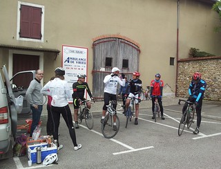
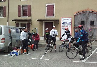
The following descent brought us to Virieux where the second rest stop of the day was planned. The sun was out now from time to time and things looked cheery. We ate and drank our fill because we were being told that there was a very steep climb ahead and we would need our strength
.
   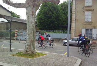  
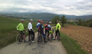
Well, the prediction was right. If you are ever in Virieux, you need to climb the Rue du Chateau. A very steep monster, leading you from 425 to 280 metres in just under 3 kilometers. Zigzagging on the 18% bits, and gritting my teeth when things got less steep, I made it to the top. Some had to walk, one even fell off his bike when the climb became too steep for him and he could not get out of his click pedals fast enough. On top of the climb the group regrouped and we made some pictures with the Alps looming up in the distance, before riding onwards, all together this time.
The rest of the ride was basically one long descent into the valley of the Isere and to the Novotel in Voreppe, to the north of Grenoble. The foothills were looming over us. It had started to rain in the last half hour of the ride and the wind was just short of stormy.
In the evening, we were browsing the local weather reports and the news was not very good. Snow was forecast from 800 metres upwards, and the next day we had to pass a 1300 metres Col. Plans were made to cancel the ride and move the group to the next hotel by car and camionette.
Endomondo
Ride Stats : 155K and 1760 heightmeters (Garmin) in 07h10mins
|


