|
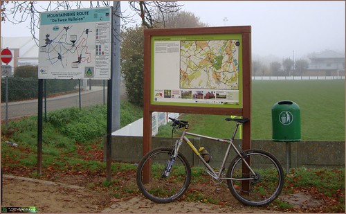
Since I was unable to attend the Ottenburg TT last friday, today I did the next best thing. I got the GPS track of the 50K - the longest distance - and decided to ride it on my own. I noticed the track incorporated a lot of small loops and even some crossings, so I was forewarned that following it on the GPS might not be easy at those points. But lets see what happens. Leaving home around 10AM with a thick layer of fog still around. The Meerdael Forest was shrouded by layers of low cloud. The temperature was around 5 degrees C and it would not rise a lot throughout the ride. So an extra layer of clothing and thicker gloves were worn. I would regret neither of them.
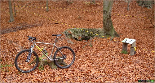
Picking in on the 50K loop at camping La Hetraie in Nethen the track was still very much notice-able from the many bikers that passed here 2 days ago. This was an advantage, it made following the right trail easier and the trail itself was beaten to a pulp by the many wheels. The grass was wet with condensation but overall trail conditions were good. A little bit moist but not wet. The Ottenburg TT is known for its many hills and this version would indeed honor that tradition. Constantly going up and down, incorporating some fine singletrails and in general connecting the areas' finest climbs and descents, I passed the Bois the Beaumont , rode up into La Malaise and then dropped down towards Florival where they had devised a heavenly loop up and down in the Bois de la Hocaille and then along the singletrail overlooking the railroad. Down into Pecrot the trail followed the valley and then crossed the river Dyle before climbing up into the Langerode forest. Here I would encounter the first problem with the GPS track. Arriving at the top of the long climb I saw three possible trails to follow. My GPS remained stumm - or I did not see the track when it was displayed - so I had to choose. I chose wrong, I arrived in the lush green valley after a steep descent and then went up the steppy downhill on the Red Bloso route. No signal from my GPS that I was on the right track so I decided to try one of the purple lines and dropped down the Tomme. Following the track I chose to take a left towards Wavre. When I arrived at the round point I decided this was no use and rode towards the Start in the Bloemenstraat.
Here I re-started my GPS navigation and this this time I was on the right track immediately. Down into a field and then towards Terlanen. Up and down the Sint Agatha Rode bos ridge a couple of times and then taking another Bloso track in the reverse direction. The heightmeters were accumulating nicely and my energy reserves were being drained at the same time. Arriving at the Langeheidestraat for the second time today, after a mean and steep climb, I now followed the track in the good direction, down the steppy downhill and into the lush green valley again. And then up the very steep ascent towards the top of the Langerodebos. HAving a good look at the GPS I saw the little white arrow just in time to take the right one of the 3 purple lines. Down the Tomme again and then into Gastuche for a little trip into Brabant Walloon and the Dyle valley. Some nice backtracks lead me towards Archennes where another nasty climb was awaiting me. Climbing up to La Malaise the track now veered towards Bossut. Down the singletrack towards the Grand Royal and bedore long I was at the hollow road descent we call the Lianenklim. Stones and steps kept me concentrated until I was at the bottom and then looped back up along a parallel track to complete this very fine little loop. I can imagine some flat tyres and possibly people falling off during the descent of the Lianenklim. It is a nasty one but at least today it was dry and without mud.
Another big challenge awaited a couple of K further down the track. A very difficult climb in a hollow road littered with stones and ruts. One foot to the ground was all I had to sacrifice during this very intense and technical climb. Great stuff. Down into Nethen and I was back at the Savenel from where it was only a short stretch to where I had entered the Ottenburg loop.
Riding back home along the Denteneerspad I was very satisfied with my ride today. Pity I missed a little stretch around Wavre but looking at the overall distance and heightmeters I did not miss out on too much. Next time.
Endomondo track
Ride Stats : 65K and 945/1015 heightmeters (Polar/Garmin) in 4h04mins
11801/102240
|


